

Construction and real estate
Every stage of your project, measured and documented.
For contractors, developers and real estate firms, Drone Solutions provides drone construction monitoring, surveying, cut and fill calculations, aerial photo and video and 360° tours, so the whole team sees the same thing.
What we solve
Actual progress against schedule
Knowing what got done this month, with measurements.
Earthworks
How much to cut, how much to fill and how much was moved.
Investor communication
Showing the site without them having to visit.
Project sales
Images and tours for marketing.
Services for construction and real estate
Construction
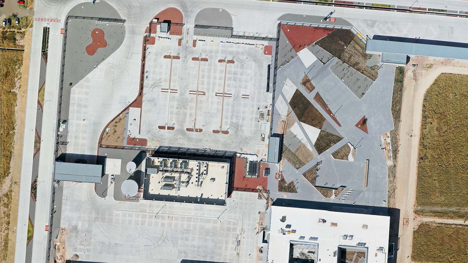
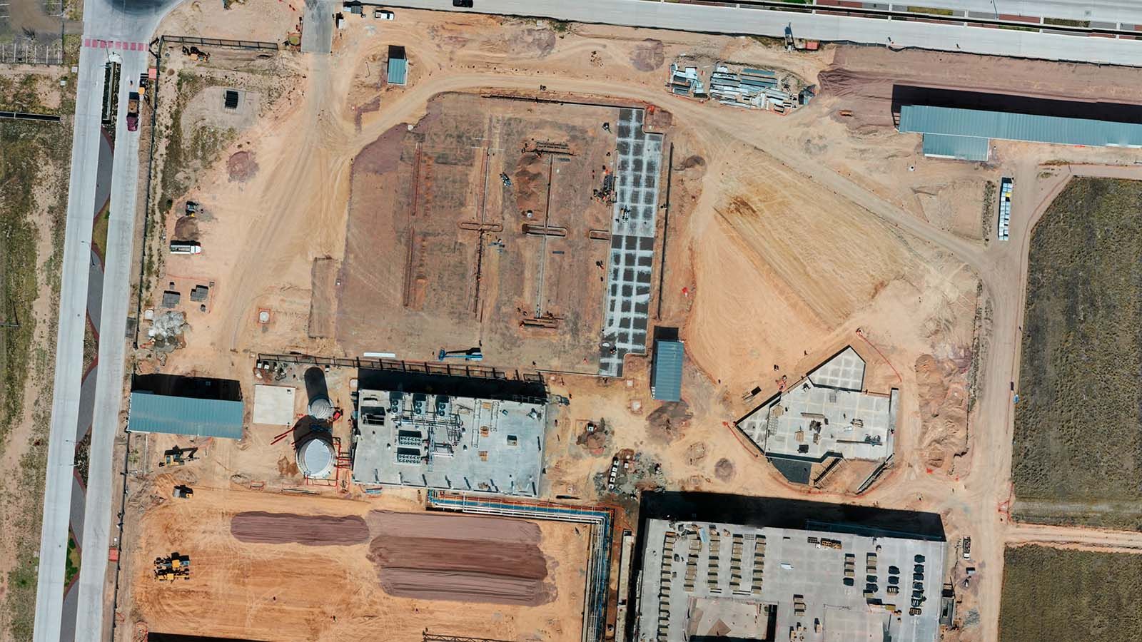
Construction monitoring
Construction progress with photos, video, 360° and before-and-after comparisons.
View service
Measurement
Surveying and mapping
Orthomosaic, contours, relief and 3D model of your site.
View service
Measurement
Stockpile volumes
Volume and tonnage by sector, month over month.
View service
Measurement
LiDAR
Classified laser point cloud and bare-earth terrain model.
View service

Aerial production
Photo, video and 360°
Advertising, corporate video, 360° tours and film production.
View service

Equipment & operations
Drone docks and remote ops
DJI Dock 4, Dock 3, Hextronics and a command center in one service.
View service
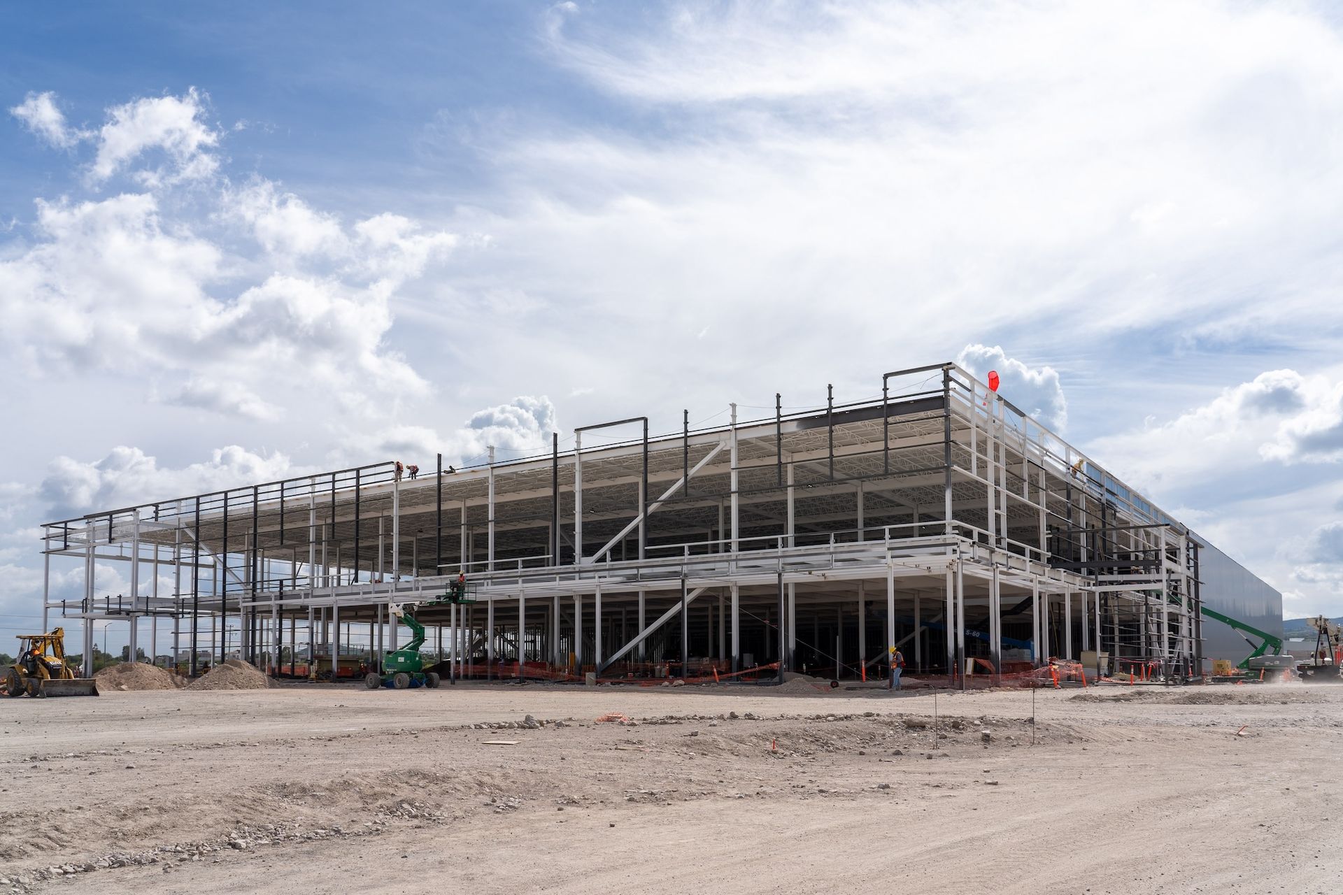
Real case studies.
Frequently asked questions.
Have another question? Email us at info@dronesolutions.com.mx.
How often should a construction site be flown?
+
Monthly is typical for progress, and weekly during earthworks.
Do you deliver files for the site engineer or surveyor?
+
Yes: DXF, GeoTIFF and KMZ, plus PDF and online viewing.
Tell us what you want to measure, inspect or film.
We'll reply with a proposal and the delivery time for your site.