

Mining and aggregates
Inventory, progress and safety, from the air.
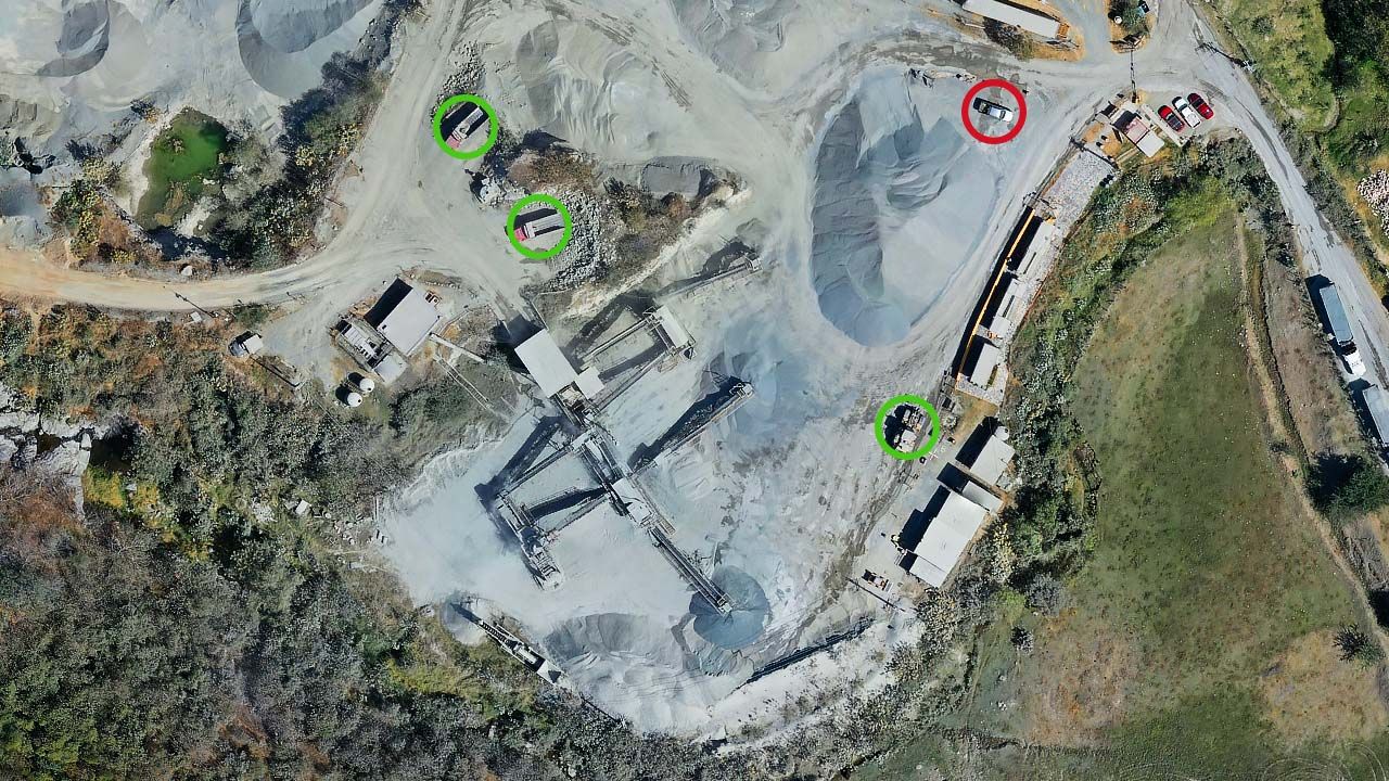
For mines, quarries, cement plants and steel yards, Drone Solutions measures stockpile volumes, performs topographic and LiDAR surveys, tracks pit progress and checks slopes and haul roads, with a monthly inventory report.
What we solve
Inventory close
Measuring piles every month without sending people up.
Mine planning
Up-to-date relief for the next cut.
Safety
Checking slopes, roads and berms without exposing anyone.
Compliance
Evidence for audits and authorities.
Services for mining and aggregates
Measurement
Stockpile volumes
Volume and tonnage by sector, month over month.
View service
Measurement
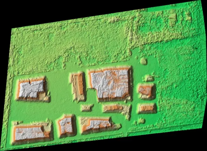
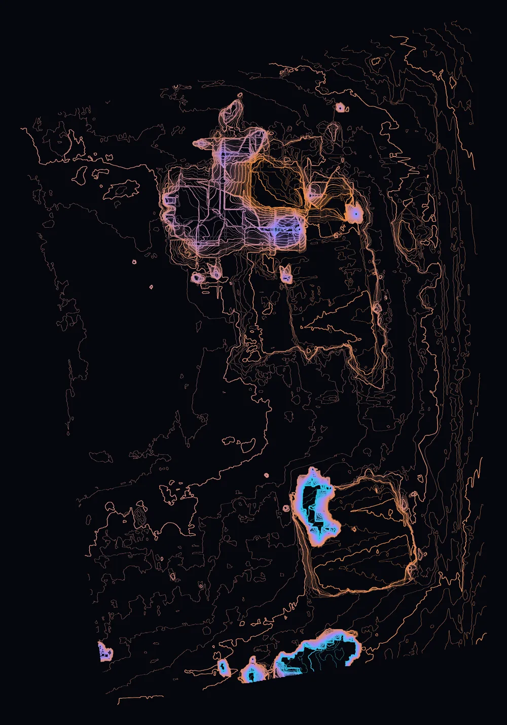
Surveying and mapping
Orthomosaic, contours, relief and 3D model of your site.
View service
Measurement
LiDAR
Classified laser point cloud and bare-earth terrain model.
View service

Equipment & operations
Drone docks and remote ops
DJI Dock 4, Dock 3, Hextronics and a command center in one service.
View service
Real case studies.

Frequently asked questions.
Have another question? Email us at info@dronesolutions.com.mx.
How often should a yard be measured?
+
Monthly is usual for accounting close; some operations measure weekly.
Can you reconcile with scale tickets?
+
Yes. We use densities per material and compare with the scale's inbound and outbound records.
Tell us what you want to measure, inspect or film.
We'll reply with a proposal and the delivery time for your site.