
LiDAR
The real ground, even under the trees.
Drone Solutions performs drone LiDAR surveys in Mexico. The laser sensor sees through vegetation, giving us a point cloud classified into ground and vegetation, a bare-earth terrain model, contour lines and vegetation height, even in dense forest, for engineering, mining, energy and forestry.
Drag to compare
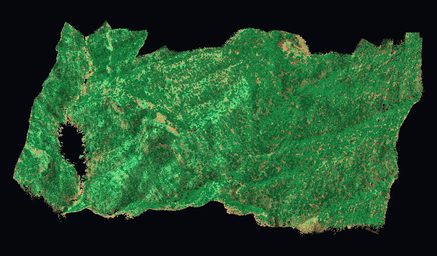
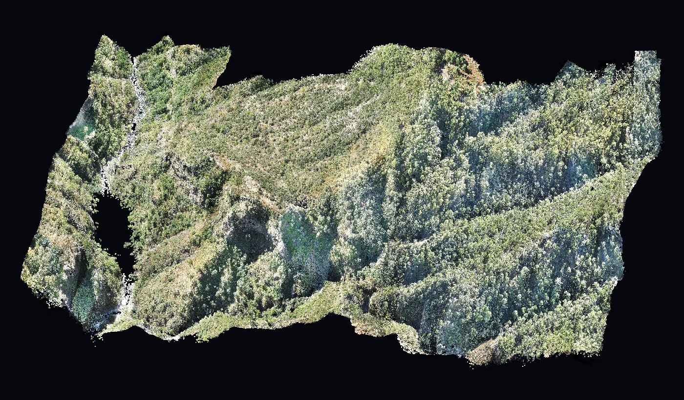
What you get
Classified laser point cloud and bare-earth terrain model.
- Point cloud classified into ground and vegetation
- Digital terrain model beneath the forest
- Contour lines in vegetated areas
- Tree and vegetation height
- Profiles and cross-sections for engineering
- LAS/LAZ, GeoTIFF and DXF files
How it works
- 1
Plan
We set point density and area based on how the survey will be used.
- 2
LiDAR flight
We fly a laser sensor mounted on a DJI Matrice drone with RTK.
- 3
Classification
We separate ground, vegetation and structures in the point cloud.
- 4
Delivery
Models, contours and files ready in GeoVolumetrics.
What it looks like
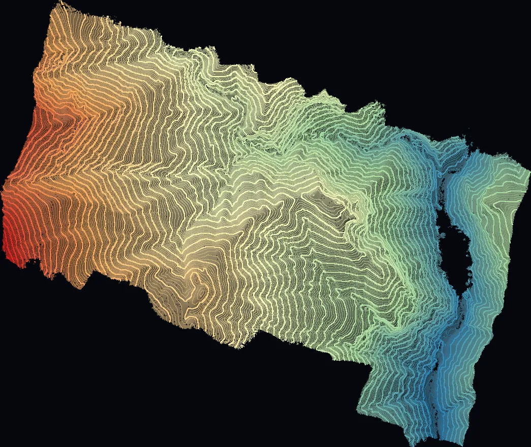
Contours under canopy
2 m contours of the real ground, even under dense forest.
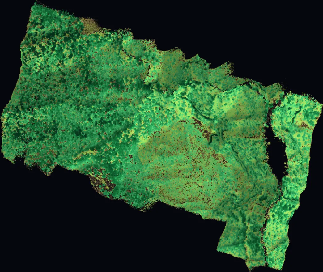
Vegetation height
From grass to trees over 15 m, zone by zone.
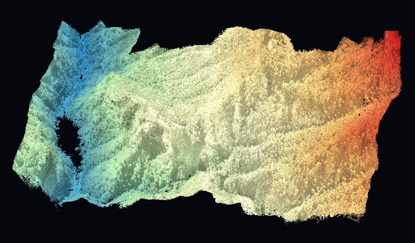
Cloud by elevation
Almost 600 m of elevation change in a single survey.
Platform
See the results in GeoVolumetrics
Volumes, surveying, LiDAR, agriculture, thermography and roofs in one platform. Upload the photos and get measured results and reports ready to sign.
geovolumetrics.comQuestions about LiDAR.
Have another question? Email us at info@dronesolutions.com.mx.
When is LiDAR better than photogrammetry?
+
When there is vegetation, cables or thin structures. Photogrammetry only sees the surface; LiDAR reaches the ground between the trees.
What files do you deliver?
+
Classified LAS or LAZ point cloud, GeoTIFF models and DXF contours.
Does it work for power lines and rights-of-way?
+
Yes. It measures clearances between conductors and vegetation and generates profiles along the line.