
New · Drone-verified inventory
What your system believes, against what is really there.
Ubika, by Drone Solutions, verifies your warehouse locations with drone scans. Every flight becomes the real map of your racks: what is in each position, what doesn't match your system and what needs fixing, with the image as evidence. We compare against your WMS export from the day of the flight, and the map, the discrepancies and the reports are ready hours later.
Mapa real
R14
What you get
What your system believes, against what is really there.
- The real warehouse map: every rack, level and position with its status
- Discrepancies against your WMS with the image of each position
- Printable list of correction tasks for the floor team
- Search: type a SKU and see where it really is
- Free space your system counts as occupied
- Reports for management, operations, audit and IT in PDF and Excel
How it works
- 1
Your inventory
On scan day you export your inventory from the WMS. It is the baseline for the comparison.
- 2
Drone flight
The drone records every rack on video, column by column and level by level, all the way to the top.
- 3
Reading and matching
Ubika identifies the product in each position and compares it with your system. A person reviews any uncertain reading.
- 4
Map and reports
You get the real map, the discrepancies with image evidence and the list of tasks to fix them.
Platform
See the results in Ubika
Turns every flight into the real map of your racks: what is in each position, what doesn't match your WMS and what to fix, with the image as evidence.
ubika.com.mxQuestions about drone-verified inventory.
Have another question? Email us at info@dronesolutions.com.mx.
How does drone-verified inventory work?
+
The drone records each rack from floor to ceiling. Ubika reads the label or product in each position and compares it with that day's WMS export. Every position is marked as correct, moved, found, empty or to review, with its photo.
Do I need to change my WMS or install anything?
+
No. You just export your inventory to Excel or CSV on scan day. Results are viewed in the browser.
Does it reach the top rack levels?
+
Yes. The drone checks every level, including the ones you can't reach on foot or with a forklift without stopping operations.
How long until the report is ready?
+
The map, discrepancies and reports are ready a few hours after the flight, usually the same day.
Where in Mexico do you provide the service?
+
Nationwide. We are based in Aguascalientes and fly in distribution centers and warehouses across the Bajío, northern and central Mexico.
Other services
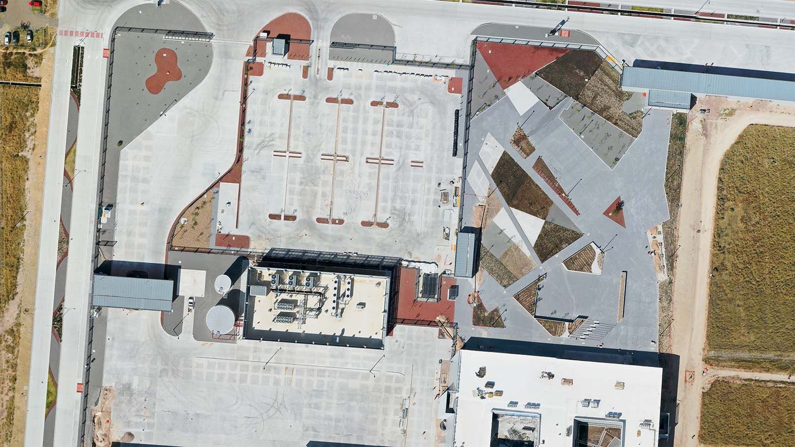
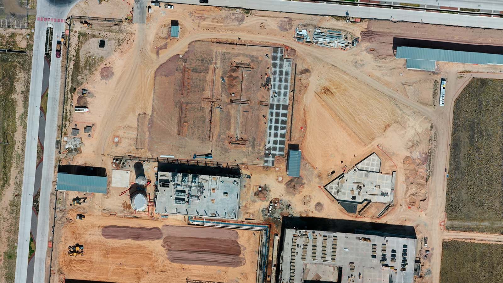
Construction
Construction monitoring
Construction progress with photos, video, 360° and before-and-after comparisons.
View service
Measurement
Stockpile volumes
Volume and tonnage by sector, month over month.
View service
Measurement
Surveying and mapping
Orthomosaic, contours, relief and 3D model of your site.
View service
Need drone-verified inventory?
We'll reply with a proposal and the delivery time for your site.