

Agriculture
Decide with data from every meter of your field.
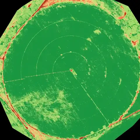
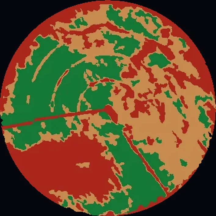
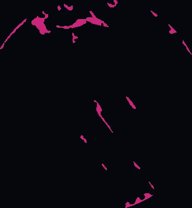
For growers, agribusinesses and advisors, Drone Solutions analyzes crops with multispectral drones: vigor, plant counts, weeds, management zones and variable-rate fertilization prescriptions, plus topography for irrigation and drainage.
What we solve
Weak zones
Seeing the problem before yield drops.
Inputs
Applying fertilizer and herbicide only where needed.
Stand count
Knowing how many plants there are and where they are missing.
Irrigation
Detecting water stress and drainage problems.
Services for agriculture
Crops
Crop analysis
Vigor, counts, weeds and prescriptions for your machinery.
View service
Measurement
Surveying and mapping
Orthomosaic, contours, relief and 3D model of your site.
View service
Equipment & operations
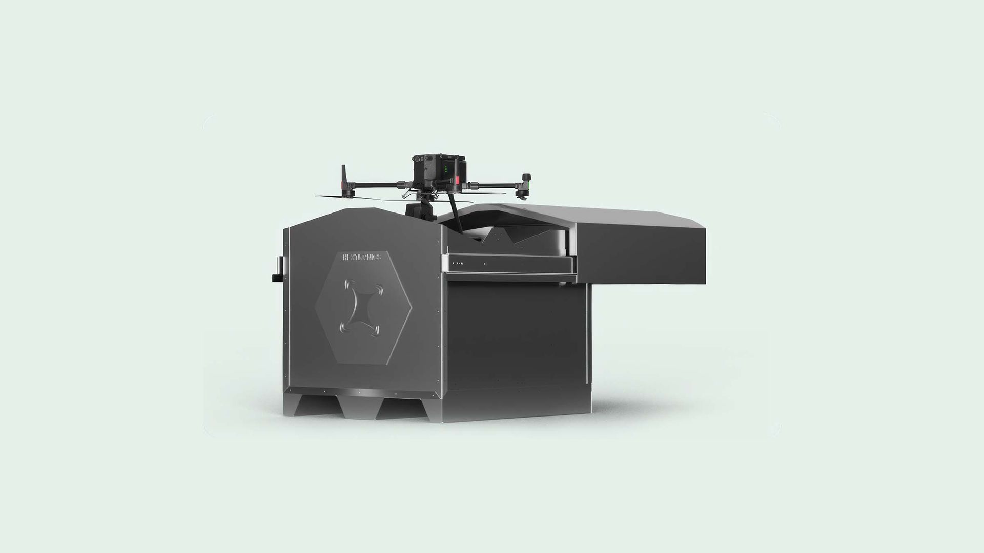
DJI equipment sales and rental
DJI Dock 4, Matrice 400, Matrice 4 and training.
View service
Real case studies.

Frequently asked questions.
Have another question? Email us at info@dronesolutions.com.mx.
From how many hectares does it make sense?
+
We work from 20 hectares. The larger the field, the more the input savings pay off.
Can I use my own multispectral drone?
+
Yes. You upload the images and we process them.
Tell us what you want to measure, inspect or film.
We'll reply with a proposal and the delivery time for your site.